
File:TransAfrica.PNG

Size of this preview: 800 × 522 pixels. Other resolutions: 320 × 209 pixels | 640 × 418 pixels | 1,024 × 668 pixels | 1,276 × 833 pixels.
Original file (1,276 × 833 pixels, file size: 21 KB, MIME type: image/png)
| This is a file from the Wikimedia Commons. Information from its description page there is shown below. Commons is a freely licensed media file repository. You can help. |
| Description |
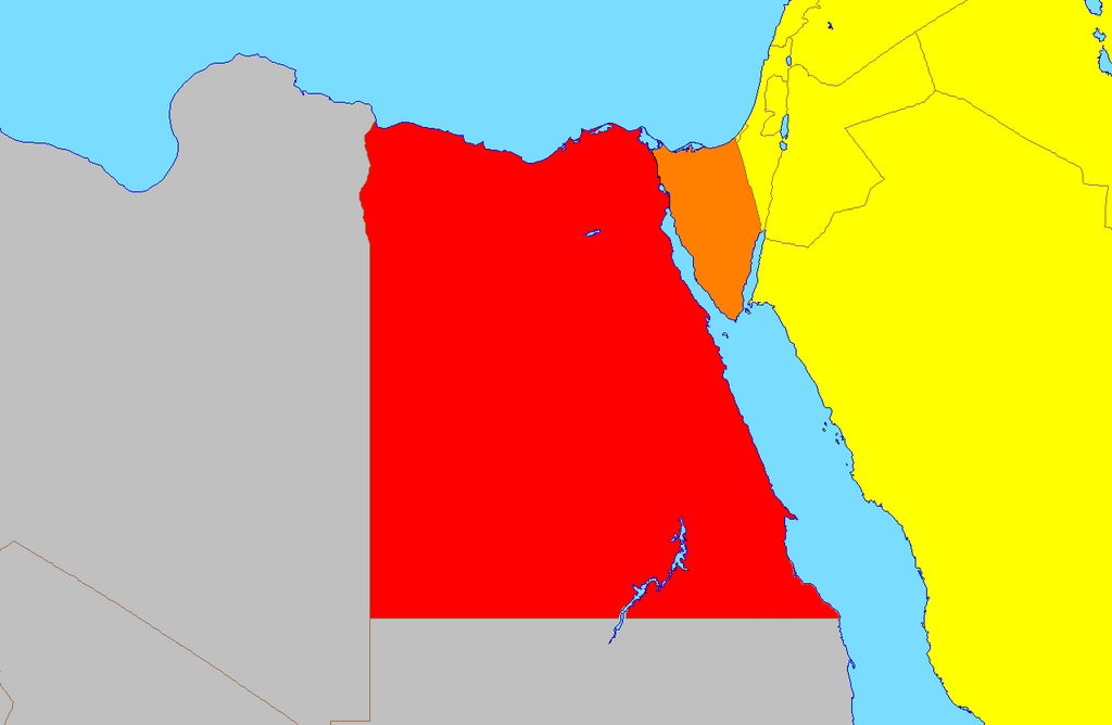
English: Egypt, Asian and African part Deutsch: Ägypten, asiatischer und afrikanischer Teil |
||||||||
| Date | 5 March 2005 (original upload date) | ||||||||
| Source | Transferred from en.wikipedia to Commons. | ||||||||
| Author | Alinor at English Wikipedia | ||||||||
| Permission (Reusing this file) |
Alinor at the English Wikipedia, the copyright holder of this work, hereby publishes it under the following license:
|
||||||||
| Other versions |
|


Original upload log
The original description page was here. All following user names refer to en.wikipedia.
- 2011-01-12 20:04 Travürsa 1276×833× (9955 bytes) I forgot to optimize...
- 2011-01-12 19:45 Travürsa 1276×833× (35606 bytes) Clarification
- 2007-06-13 02:58 Andrewpmk 1276×833× (8787 bytes) optimize png
- 2005-03-05 23:52 Alinor 1276×833× (36399 bytes) {{GFDL}}
File history
Click on a date/time to view the file as it appeared at that time.
| Date/Time | Thumbnail | Dimensions | User | Comment | |
|---|---|---|---|---|---|
| current | 09:49, 20 June 2023 | | 1,276 × 833 (21 KB) | Abdelrhman 1990 | Map correction |
| 18:10, 7 September 2012 |  | 1,276 × 833 (10 KB) | OgreBot | (BOT): Uploading old version of file from en.wikipedia; originally uploaded on 2011-01-12 20:04:40 by Travürsa | |
| 18:10, 7 September 2012 |  | 1,276 × 833 (35 KB) | OgreBot | (BOT): Uploading old version of file from en.wikipedia; originally uploaded on 2011-01-12 19:45:56 by Travürsa | |
| 18:10, 7 September 2012 |  | 1,276 × 833 (9 KB) | OgreBot | (BOT): Uploading old version of file from en.wikipedia; originally uploaded on 2007-06-13 02:58:54 by Andrewpmk | |
| 06:46, 1 November 2005 |  | 1,276 × 833 (17 KB) | ChongDae | pngcrush | |
| 09:32, 1 May 2005 |  | 1,276 × 833 (36 KB) | ChongDae | from en: {{GFDL}} Category:Continent locator maps |
File usage
The following pages on the English Wikipedia use this file (pages on other projects are not listed):
Global file usage
The following other wikis use this file:
- Usage on arz.wikipedia.org
- Usage on az.wikipedia.org
- Usage on ca.wikipedia.org
- Usage on da.wikipedia.org
- Usage on el.wikipedia.org
- Usage on es.wikipedia.org
- Usage on fa.wikipedia.org
- Usage on fr.wikipedia.org
- Usage on it.wikipedia.org
- Usage on ka.wikipedia.org
- Usage on ko.wikipedia.org
- Usage on la.wikipedia.org
- Usage on ms.wikipedia.org
- Usage on ta.wikipedia.org
- Usage on tr.wikipedia.org
- Usage on ur.wikipedia.org
- Usage on zh.wikipedia.org